GIS

Gis Service Johanson Eng Utha

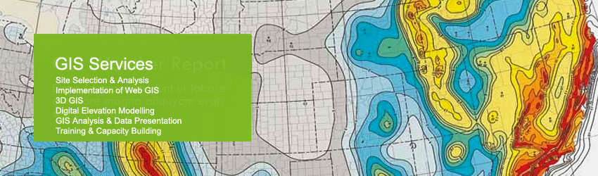
Johanson Engineering has evolved as various city and county requirements have evolved to include GIS capabilities. We provide ESRI ARCGIS software services to streamline the submitter process for various government agencies to assist the approval process. We also use GIS software to provide our clients with improved asset management, decision support, and other community planning needs.

GIS services include but not limited to the following:

  • Planning and implementation
  • Data development including scanning, geo-referencing and digitizing to create points of address, centerlines of street, building footprints and et al.
  • Map production
  • Collect GPS data and work with clients’ design and collect infrastructure data such as street centerlines, water, storm water and sewer lines.
  • Data conversion for CAD
  • Create shape files from CAD
  • Create or edit data geometry and attributes